
Search Chapmanville property records
A Chapmanville address works as a town lens only. It does not create a separate county assessor or recorder for the area. Start from the address, identify the county account, and confirm the deed with the clerk. The town office then handles municipal permits or zoning questions. The river and road corridor complicates things. A postal label is an imperfect guide to where the town line actually falls.
- Record the complete street or road address, including any local community label.
- Locate the parcel through Logan County's assessor or statewide map.
- Save its full account, district/map/parcel, legal description, and deed book/page.
- Check the County Clerk for a recent transfer and request the town's permit or zoning file separately.
- Compare the parcel with current incorporated-place geometry if the municipal line affects the question.
This keeps the city question apart from the county-wide search. Full address and owner-field instructions sit on the Logan County property search page. Chapmanville property records still need a county identifier that can carry into the deed and map.
Town and county keep different records
Logan County holds Chapmanville's tax accounts, GIS-linked assessment details, recorded deeds, plats, and liens. It also keeps sheriff tax records and circuit-court files. The Town of Chapmanville is the municipal contact for town permits, zoning, streets, and signs. It handles municipal actions as well. An assessor improvement field can show that a structure exists. It cannot show whether the town approved the work. A town form, likewise, does not establish ownership.
Logan County custodians
Clerk and Assessor
300 Stratton Street
Logan, WV 25601
Clerk 304-792-8600
Assessor 304-792-8520
The town publishes no searchable permit or zoning interface. Ask which office holds a particular file and how to request a copy. A missing online search does not mean no permit record exists.
Chapmanville plats and corridor lots
No official list of named Chapmanville subdivisions or their plat book references appears in the county's published material. The table marks that limit while pointing to the records that can settle a lot or road question. Keep a Logan city neighborhood name out of Chapmanville. A listing name is not a recorded subdivision either.
| Location clue | Era or type | Record to request |
|---|---|---|
| Named subdivision not verified | No official list found in inspected sources | County Clerk plat index and town planning records |
| Town street or addition | May be shown in recorded lot geometry | Plat with book/page and lot reference |
| Road or corridor address | Current street label may differ by source | Assessor account, legal description, and E-911 |
A recorded plat can show town streets, lot lines, additions, and reserved rights of way that a present postal address hides. Request the drawing from the clerk. Then compare it with WV Property Viewer. The tax map is not a survey, and no specific town subdivision name, lot range, or era can be confirmed from it.
Chapmanville permit search has an offline gap
The Town's public home page shows no searchable permit or zoning interface. There are no search fields, case-number filter, date range, fees, or result cap. For building, zoning, sign, street, or municipal improvement history, contact the town. Ask how records are held. A written request should name the address, work type, and approximate year. It should also include the parcel or account if known.
Ask the town to identify any permit number, issue date, applicant, and scope. Request the inspection or final status too, plus the copy fee. If the town has a PDF or counter form, read its actual fields. Keep a copy of the response.
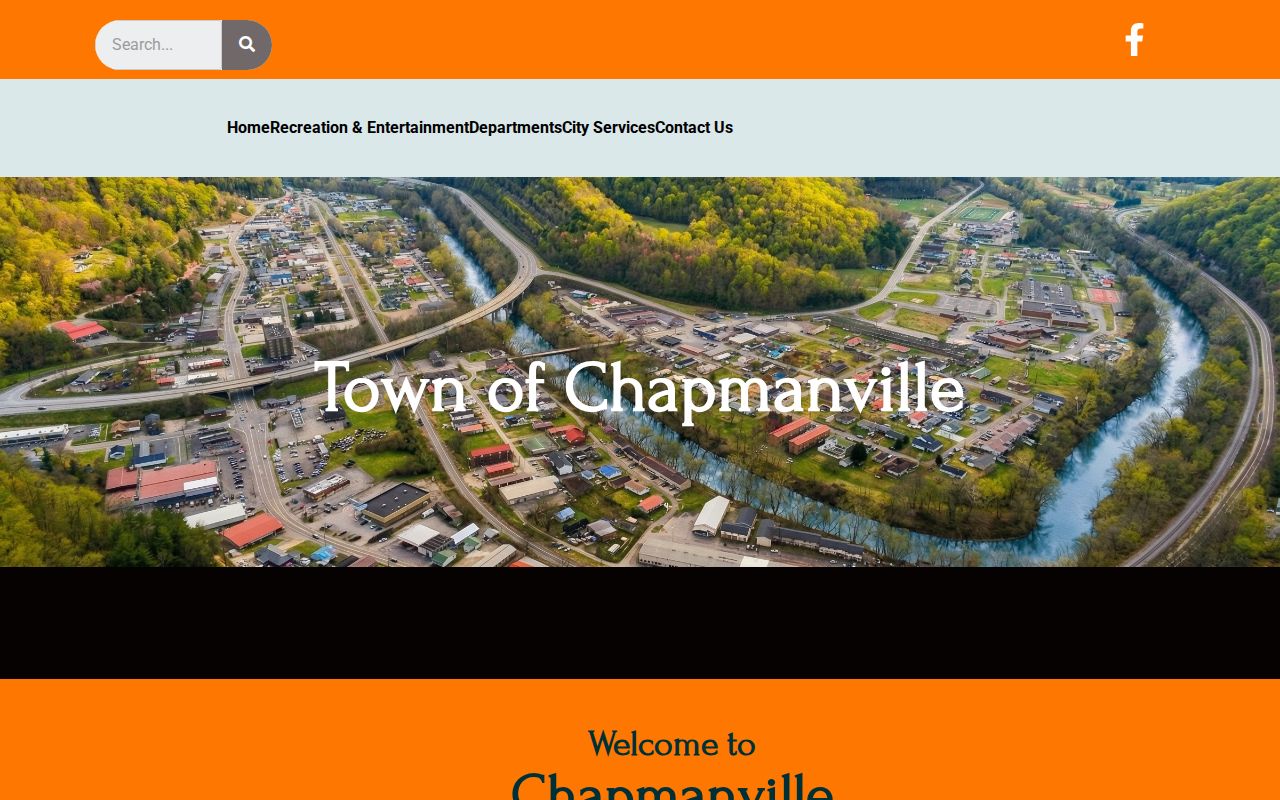
The official Town of Chapmanville site is the starting point. Its home page simply displays no permit search box. So plan on a phone call or written request.
Use Logan County records for ownership, then contact the town for municipal approval history.
Keep Chapmanville addresses and boundaries separate
A Chapmanville postal label may cover a place outside the incorporated town. ZIP coverage and ZIPs crossing the town line have no official USPS confirmation. Treat ZIP as a search hint, not a legal boundary. Exact incorporation or annexation dates are not published in the county's material. Boundary-edge communities are likewise absent. Street renumbering records are not published either.
For a current boundary check, compare the selected parcel with Census or GIS incorporated-place polygons. For a historic change, request town ordinances, council minutes, annexation maps, and street-address history. The parcel account and legal description are stronger identifiers than a mailing town. Near the edge, note which boundary source and date you used.
Chapmanville property records should keep two pieces of information distinct. One is the postal label. The other is the legal county parcel. That habit stops one common mistake. It prevents a road name from standing in as proof of town jurisdiction over the lot.
Use Logan County's Chapmanville account fields
The Logan County assessor links a Chapmanville address to the tax account. The same record fills the owner of record field. The Town of Chapmanville, meanwhile, handles local permit and zoning questions. Preserve the parcel's account. Keep its legal description whenever a road label or postal town seems broad. The town boundary and the county parcel are separate references.
For a Chapmanville parcel, compare its current map location. Also check the municipal polygon before treating a town permit question as within town jurisdiction. Mailing and physical labels may differ, especially near the incorporated edge. The legal description remains the bridge to the County Clerk's deed records.
A tax-account owner field can support a property lookup. The deed confirms the recorded transfer, though. And the assessor card does not show whether a town permit was ever approved.
Read Chapmanville parcels with E-911 context
WV Property Viewer packs a lot into one parcel view. For a selected parcel it shows the owner of record, the physical and E-911 addresses, the community label, building details, cost and appraised values, flood data, delinquent status, and a link to the assessment report. Neighboring parcels appear as shapes around it. Copy Link and Download KMZ controls let you save what you find.
This is where E-911 context earns its keep. A town address and a wider road or community label can look nearly identical. The viewer's fields help you tell them apart. The river and road corridor can also make two nearby parcels seem like a single address cluster. Identify the parcel on the map first. Then compare the account and legal description against what the assessor and clerk hold.
Treat the displayed flood zone and tax line as clues, not boundaries. A lot-line question calls for a plat or survey. And remember that a Chapmanville mailing address does not decide whether a parcel sits inside the incorporated place; check the current map polygon against the parcel before crediting any municipal action to the town.
Tax class changes at the Chapmanville line
West Virginia sorts taxable property by location, and the town line matters. Class II covers owner-occupied homes and owner-used farms. Class III covers comparable property outside incorporated areas. Class IV covers comparable property inside municipalities. A parcel near the edge may straddle assumptions. Check the boundary before inferring its class from a post office name.
Three separate figures drive the tax bill. The Logan assessor sets an appraised value, applies the 60 percent assessed value, and the levy rate follows. A recorded sale price is none of these. Rely on the class shown on the account, and raise any classification or taxability question with the assessor. The assessor publishes no Chapmanville-only value-trend series or tax-page search tool.
For a town-line dispute, write things down. Preserve the account number, the map and parcel identifiers, the current boundary source, the class, and the tax year. That record gives the assessor a specific issue to review instead of a vague complaint.
Reach older Chapmanville deeds
Older Chapmanville deeds take a different route than modern search. The Logan County Clerk states that the Cott online convenience system covers deeds, trust deeds, and liens. Those records run from 1988 to present. Anything earlier lives in older indexes, deed books, and archives. WVU holds substantial Logan reels. Grantor reels run LOG 1-4, grantee reels LOG 5-8, and deed books LOG 9-19. Land books occupy reels LOG 181-188, alongside survey records, contracts, leases, and wills.
Start from a current account and book/page. Then trace grantor and grantee names backward through the chain. Old legal descriptions rarely match modern addresses. Expect a tract name, acreage, a survey reference, or an adjoining owner. You may also find a road corridor instead of a street number. Ask the clerk or archive for a specific reel or plat when you get stuck.
That older access runs through a different channel, not a sign that records are missing. The Logan County parcel-maps page explains how to compare a selected parcel. It shows how that parcel matches a recorded plat. Keep the deed description close at hand. It is the bridge between today's map and earlier Chapmanville property records.
Chapmanville population and record limits
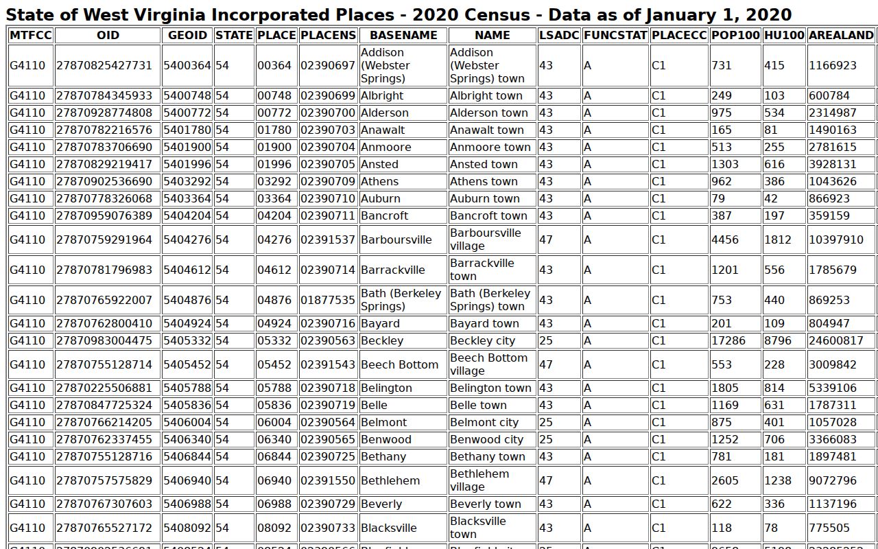
Chapmanville counted 1,020 residents in the 2020 Census, a historical tally rather than a current estimate. The figure gives a sense of scale. It does not define the town line. Census and GIS place polygons are the reliable current geography, while exact annexation chronology and ZIP crossings remain open gaps.
The Census incorporated-place roster supplies the population figure. The official page lists Chapmanville alongside Logan and Man.
Chapmanville property records have real limits. The town publishes no public permit database, named subdivision index, ZIP list, or annexation timeline. Request town material directly, and lean on the county deed and parcel trail for ownership.
Use the right record. A town label, tax account, deed, permit request, and GIS polygon answer different questions. Verify with the custodian and do not use owner information to stalk, threaten, or harass anyone.