
How Logan County property records fit together
Start with the question you actually have. An address usually points first to the assessor's tax roll, while an owner name can lead you to a parcel. A deed question belongs with the county clerk. A boundary question starts on the parcel map. Logan County, West Virginia keeps its land records at the county level even when an address uses Logan, Chapmanville, Man, West Logan, or a hollow community name. One parcel can carry a mailing label, a physical address, an E-911 address, and a legal description that never match word for word.
A solid search connects offices. The assessor identifies each tax account and its owner of record. The clerk records deeds and other instruments. The sheriff collects tax and redemption payments. A statewide viewer adds map and flood context. None is a title opinion or a survey. Keep the account number, full map and parcel, deed book and page, and legal description together as you move from one office to the next.
- Search the free assessor form by Parcel Address or by Owner Name, entered surname first with no comma.
- Save the account, District, Map/Parcel, legal description, and Deed Book/Page shown with the result.
- Use the clerk's Cott link for deeds, trust deeds, and liens, then ask the clerk for older books or certified copies.
- Select the parcel in WV Property Viewer to compare E-911, community, flood, and neighboring-parcel context.
- Use the sheriff's official tax links for payment or redemption questions, and call the office if the bill search is unclear.
Each record keeps its own role. A Logan County property search is strongest when the same parcel identifier travels with you, linking the owner lookup, the recorded deed, the tax account, and the map.
Where Logan County keeps property records
Logan County splits the work among its offices. The county clerk records land instruments and keeps county commission and probate records. The assessor maintains property accounts, land books, classifications, and values. The sheriff collects real estate taxes. The sheriff also posts payment and redemption links. Circuit records sit with the statewide court system. Municipalities hold their own permit and land-use material. One office never replaces another.
Logan County Clerk
300 Stratton Street, Room 102
Logan, WV 25601
304-792-8600
Logan County Assessor
300 Stratton Street
Logan, WV 25601
304-792-8520
Logan County Sheriff
Tax collection and redemption desk
Use the official office contact page
The clerk's counter is open 8:30 a.m. to 4:30 p.m. on weekdays. It closes for lunch from noon to 1 p.m. Phone ahead before you travel. Ask first if you need a particular volume, copy, or probate file. The assessor sits at the same street address. The two offices are separate. The official West Virginia County Clerk Directory lists Logan County Clerk John A. Turner as the contact for land recording and related county records. Call the assessor with a question about an account value or class. The clerk cannot interpret the assessor's tax roll.
Which Logan County record answers which question
Property records are not one file. The grantor and grantee on a deed, the owner field on an assessment card, a tax account balance, and a line on the GIS map each come from a different process. Start with the record that fits the question. Cross-check only where the issue calls for it. Logan County's public sources offer a practical path. They run from parcel identification to recorded history.
| Record set | What it shows | Custodian or tool | Best use |
|---|---|---|---|
| Assessment account | Owner field, account, situs, mailing, class, values, improvements | County Assessor | Find and identify a tax parcel |
| Deed and lien index | Parties, instrument type, recording reference, legal description | County Clerk and Cott | Trace transfers and recorded claims |
| Tax and redemption records | Payment or delinquency steps | County Sheriff | Confirm payment and redemption route |
| Parcel map | Parcel shape, E-911, flood, community, neighbor context | WV Property Viewer | Locate a parcel and compare surroundings |
| Permit form or case file | Municipal construction or land-use action | City or town office | Check work history beyond the tax card |
The assessor is a good starting point for a property search, but it does not prove that no later deed exists. Deed history lives with the clerk, whose recording date and instrument form the paper trail. The sheriff's tax links answer a payment question, not an ownership one. A city permit can explain a reported improvement. The assessor card does not show city permits. The Logan County deed records page covers instrument searches in more detail.
Using Logan County's assessor search fields
The assessor form is free. It takes any combination of search fields. Start with a full or partial Parcel Address when you know the road label. If that misses, use Owner Name in the requested format. Type LAST NAME FIRST NAME, without a comma. A familiar entry like "Smith, John" may fail even when "SMITH JOHN" works, and an empty result does not mean the property has no account.
The Logan County property search form accepts owner, address, account, district, map/parcel, type, legal description, and deed-reference keys.
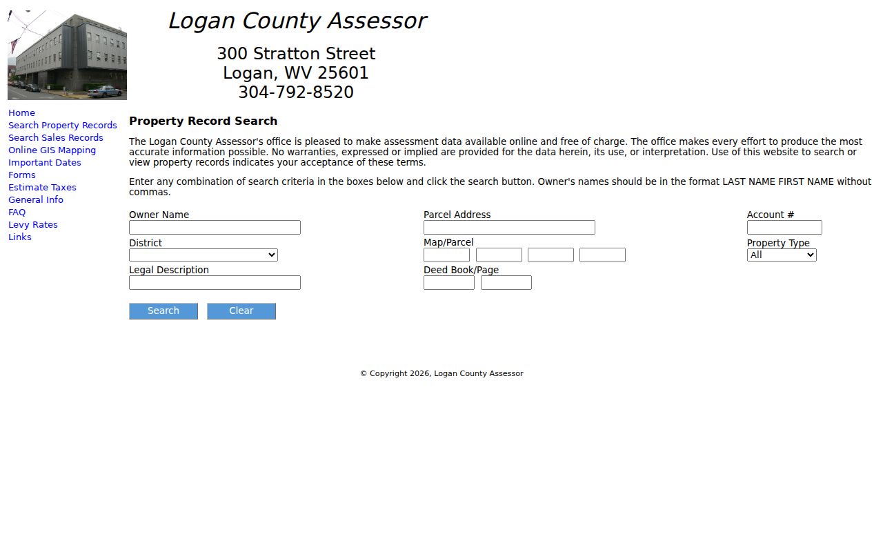
Copy the exact account and parcel identifiers first.
| Visible field | What to enter | Search note |
|---|---|---|
| Owner Name | Surname, then first name | No comma; exact match rules are not stated |
| Parcel Address | Street or address text | Street-list behavior is not promised |
| Account # | Assessor account | Use a prior bill or card if available |
| District and Map/Parcel | District plus the parcel parts | Four parcel input boxes are visible |
| Legal Description | Lot, tract, or deed text | Retain spelling and punctuation variants |
| Deed Book/Page | Book and page in paired fields | Useful when an address has changed |
Open the result. Copy the full account, property class, owner name, mailing address, physical or situs address, legal description, value fields, and deed reference. Dropdown options for District and Property Type are dynamic. The public form does not state a coverage year. Use only fields you can verify on the live form, and when a road name or number is unclear, try a community label or a parcel identifier. Do not guess at a map format.
Logan County's online deed boundary
Logan County deeds live on Cott's West Virginia Portal, which the clerk points to for land deeds, trust deeds, and liens recorded from 1988 forward. Trust deeds and liens are included. That start year is a convenience range. It does not mean older instruments are lost. Search limits, result caps, image fees, and the earliest scanned year sit with the vendor, so confirm current access terms there. Then call or visit the clerk if an instrument or image stays out of reach.
An ownership check works best in both party roles, where the portal permits. A buyer appears as grantee on one deed. Later that same person may show up as a grantor. Note the book and page or document number, the recording date, and the legal description. Dates matter here. A tax-roll owner can trail a transfer while the assessment book catches up, which makes the newest deed the stronger dated cross-check. A probate order, foreclosure, or correction instrument can still reshape the picture.
Fees take some care too. The clerk's chart prices a plat map at $11, with copies at $1.50 for the first two pages and $1.00 for each added page. Certification adds $1.00. The state statute states some recording and copy amounts differently, so ask the clerk for the current total before ordering anything.
You can open the Cott land-record portal through the county clerk's own page. Treat it as one search route. The custodian's record is still the thing to verify.
Reading Logan parcels on the statewide map
The WV Property Viewer is a map and assessment aid. Select a parcel and its panel can show the property owner, physical address, E-911 address, community, building information, cost values, appraised values, delinquent status, flood information, and a link to an assessment report. Parcel-address and flood-zone controls sit alongside Details, Highlight ON, Copy Link, and Download KMZ. The Logan assessor also links a separate ArcGIS viewer.
Open the West Virginia Property Viewer at its official state address first. Select a parcel. Copy the map/parcel and account values shown for it. A zoomed map alone is not enough. A downloaded KMZ carries the view into mapping software. Still, it is no boundary survey. External map links offer orientation, never a title determination.
Logan County's hills, hollows, river valleys, and coal communities make labels easy to confuse. A postal city may not match the incorporated place polygon. E-911 is an address clue, and Community is a local label. Neither one proves a legal boundary by itself. The parcel number and deed description remain the safer bridge between the map and the county's property records.
Following older Logan County land books
Older Logan County deeds sit on microfilm at WVU. The reels follow a clear order. LOG 1-4 hold grantor indexes, LOG 5-8 grantee indexes, and LOG 9-19 the deed books. The same finding aid assigns surveyor records to LOG 177-179 and LOG 202, land books to LOG 181-188, contracts to LOG 190-192, leases to LOG 193-196, and commissioners' records to LOG 197-201.
Start from a deed you trust. Write down its date, parties, book and page, tract, acreage, creek reference, and neighbor names. Then search the earlier grantee and grantor indexes. Older entries may carry an initial, a spelling shift, a coal-company name, or a tract name instead of a modern address. Request the exact reel or book range rather than a broad request for old Logan County deed records.
WVU's Logan County finding aid details the holdings. The State Archives county-record notes list typed Logan County deeds from 1836-1894 plus deed-index material through 1935. Both are access guides. Neither promises full digitization.
The WVU finding aid's reel inventory shows how the record groups fit together. That grouping makes the older land trail usable.
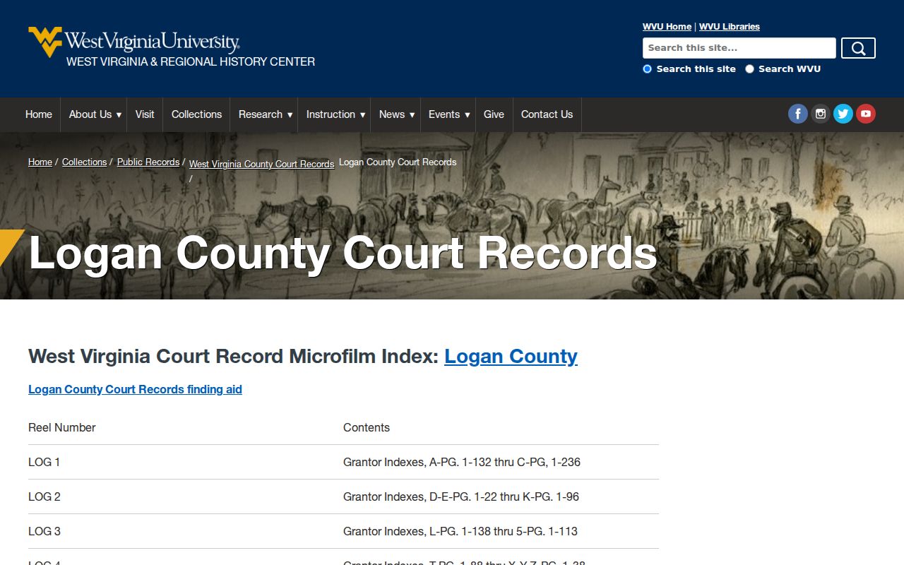
The reel list turns a vague hunt into a specific archive request. That saves real time for anyone tracing historical Logan County property records.
Logan County assessed values and the February calendar
West Virginia law sets July 1 as the annual assessment date for real property. The ratio is 60 percent of true and actual value. The Logan assessor states the formula plainly: Appraised Value × 60% = Assessed Value. Assessed Value × Levy Rate = Tax. A deed price is a transaction figure. It need not match the appraised value, the assessed value, or a later sale price.
Fieldwork runs on a cycle. The assessor visits real estate at least every three years. Market values, cost studies, and land values are updated each year. Books are completed by January 30 for the February board deadline. That cadence is an annual routine, not a promise of daily updates after a closing. Property class matters too. Class II covers owner-occupied homes and owner-used farms. Class III is comparable taxable property outside municipalities. Class IV is the same inside them.
The governing rule is statutory. West Virginia Code §11-3-1 fixes the annual date and the 60 percent ratio. Use the assessor's current card and levy data for any real parcel calculation. The ratio alone will not yield the final tax bill.
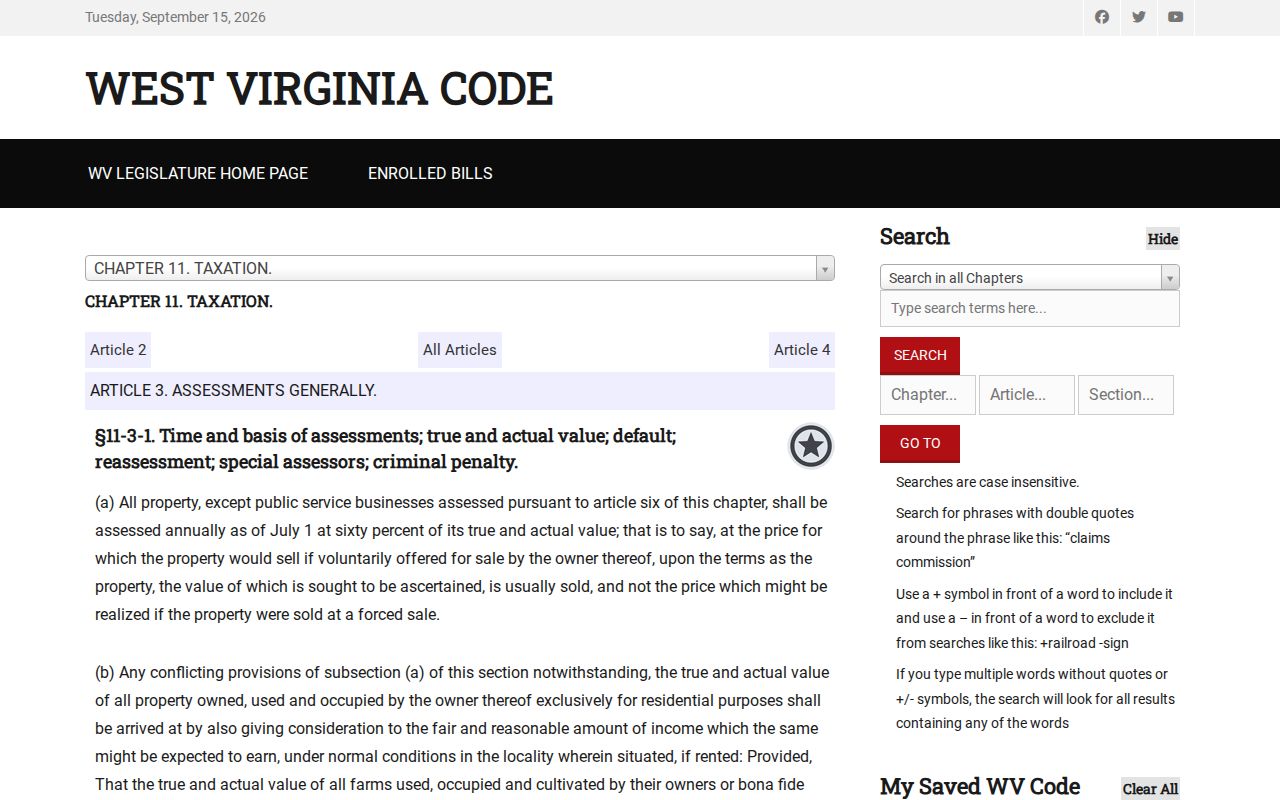
The ratio alone is not the bill. Use the assessor's current card and levy data for any parcel calculation.
Tax payment and redemption in Logan County
The Sheriff's Office handles collection and publishes separate links for Pay Taxes and Real Estate Tax Redemption. A delinquent flag in the map is a status clue, not proof of foreclosure or a completed transfer. Redemption is a distinct process. If a parcel appears on a delinquent list, check the sheriff's current official instructions and ask what stage applies before paying or assuming ownership has changed.
No independently indexed Logan tax-bill search page or verified public search fields were located. Use the Sheriff's official site rather than a third-party payment result, and call the office if the linked payment tool does not identify a tax year or parcel. The official path matters because look-alike payment pages can collect funds without resolving a county tax account.
The Logan County Sheriff page is the starting point for the two tax links. A tax question belongs with the sheriff; the assessor's value and class answer a different part of the calculation. The Logan County property tax records page explains assessment and appeal steps separately.
The Logan County Sheriff's official page shows the tax-payment and real-estate redemption entry points in the captured screen below.
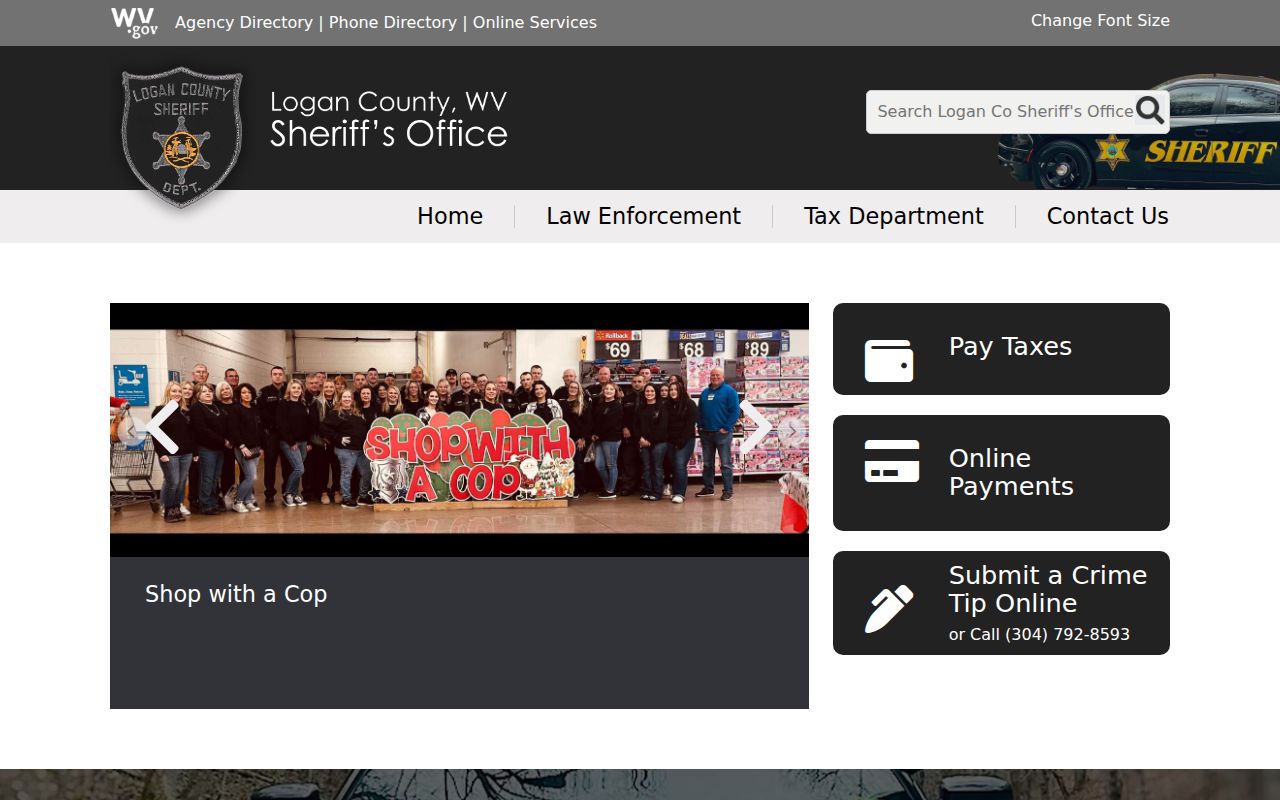
Save your receipt and parcel number for sheriff tax questions.
City permits add a Logan County layer
Logan, Chapmanville, and Man add a municipal layer on top of Logan County's assessor and clerk. A city address can mean separate rules for building, zoning, signs, and streets. The City of Logan's resource center publishes a Building & Fire Code residential permit. It also posts a Building Permit Application, a Sign Permit Application, a B&O Form, and a Business License Registration. Treat it as a form library rather than a searchable permit-case database. Confirm any fees with the office directly.
A city permit can explain construction that shows up in an assessor improvement field. But it cannot prove current title. Logan City sits at 219 Dingess Street, reachable at 304-752-4044, for its form process. Chapmanville and Man publish no searchable permit portals. So ask each town office about permits and zoning records rather than assuming a missing web form means nothing exists.
Population context helps too. The 2020 count put Logan city at 1,439 people inside a county full of unincorporated communities. So a "Logan" mailing label may point to the city, West Logan, or a nearby place. Compare the parcel against the current incorporated-place boundary and keep the legal description. The Logan city property-records page offers the city permit lens. And Logan City's resource center holds the municipal forms themselves.
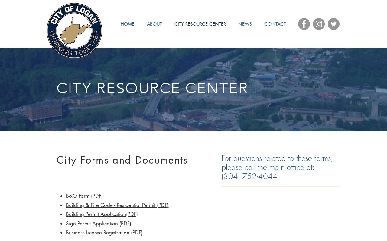
The form titles point to the municipal route. Parcel ownership still comes from the county assessor and clerk.
Logan County court and certificate records
Circuit and Magistrate Court files are separate from land recording. The West Virginia Judiciary's Court Record Access route, including WVPASS announced in 2025, is the statewide starting place for Logan circuit matters such as foreclosure, quiet title, partition, or judgment activity. Static official material did not verify exact filters, result limits, or image access. For a full file, contact the Logan Circuit Clerk at 304-792-8550 and provide a case number or party and date range.
The County Clerk also handles probate, wills, guardianships, marriage licenses, and local vital records. Vital Registration is a state repository. Under West Virginia Code §16-5-27, birth records become open after 100 years, while death, fetal-death, marriage, divorce, and annulment records generally open after 50 years, subject to protected medical information and Social Security numbers. A certificate form is not a property-owner search.
The judiciary's court-access landing page describes the statewide search route. Ask the clerk for the actual court file when a case result affects a deed or parcel. Court records can explain a title event, but a docket entry and a recorded land instrument serve different roles.
The West Virginia judiciary's court-access page is the source for the statewide search shown in the captured screen below.
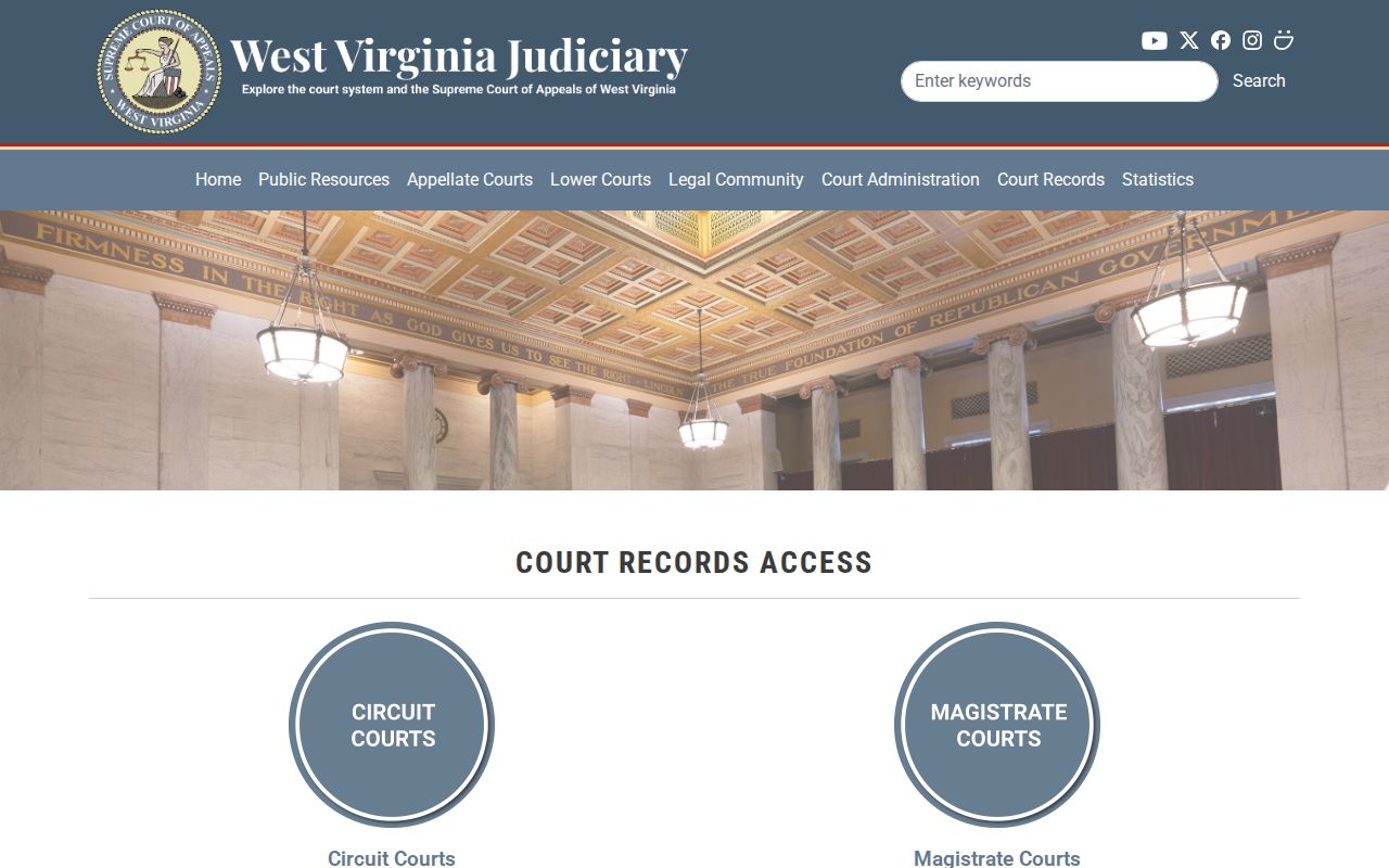
Note the case number. Then tie any order or deed to the county clerk's recording reference.
What Logan County records cannot establish
An assessment card locates a tax account. A deed records an instrument. A map displays a tax parcel, and a docket records case events. Each has a limit. An owner field is not a title report, a parcel outline is not a survey, a listed value is not a current appraisal, and a delinquent marker does not prove a finished foreclosure.
Use records with care. Logan County public records support ownership research, property diligence, and civic review. They should not be used to stalk, threaten, harass, trespass, or expose protected personal details. Verify important facts with the office that keeps the original record.
The West Virginia Freedom of Information Act governs requests for Logan County records. These are records a portal does not display. A request must describe the record with reasonable specificity under §29B-1-3. Naming the parcel number, instrument type, case, or date range is usually enough. The custodian then has five days to respond, not counting weekends and legal holidays. The response can provide copies. It can set a time for inspection. It can also deny the request in writing. Fees are limited to the actual cost of reproduction. Search labor cannot be charged.
Court files and vital records follow separate access rules. The West Virginia Freedom of Information Act itself is the authority for the five-day clock. It is also the authority for the cost limits.
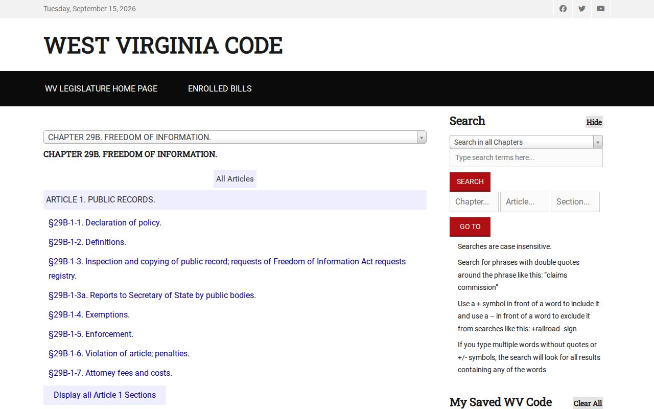
Some Logan County records never make it online. When the document you need is one of them, a written request is the way forward. The Logan County Clerk's certificate-request page covers birth, marriage, and death forms. It also lists mail and in-person options. That form route sits apart from any property search. Vital certificates follow their own eligibility rules.
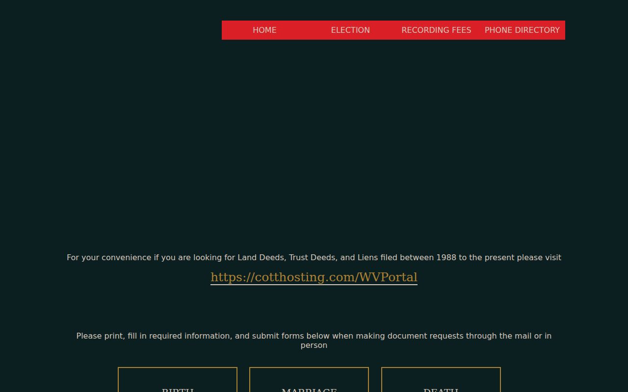
For property research, stay with the land-record or assessor route.