
Logan County parcel map layers
Logan County parcel maps layer several kinds of information onto one screen. Each layer proves a different fact. The statewide WV Property Viewer supports a search by Parcel Address or Flood Zone. It lets you select a parcel and opens its assessment report. The county assessor also maintains an ArcGIS viewer. Read the record panel beside the map, then carry the account and Map/Parcel numbers into the assessor and clerk records whenever ownership or the legal description matters.
| Layer or field | What it can show | Useful for |
|---|---|---|
| Selected parcel | Parcel highlight and assessment-report link | Confirm which map shape was selected |
| Owner and addresses | Property Owner, physical, E-911, and community | Resolve local address labels |
| Assessment details | Building, cost values, appraised values, delinquency | Compare map card and tax account |
| Flood Zone | Flood context displayed as a map layer | Environmental screening, not title |
| External map links | Street and basemap references | Orientation around a parcel |
The WV Property Viewer is free to the public. Its controls include Details, Highlight ON, Copy Link, and Download KMZ, and the map display pairs with a record panel for whatever parcel you select.
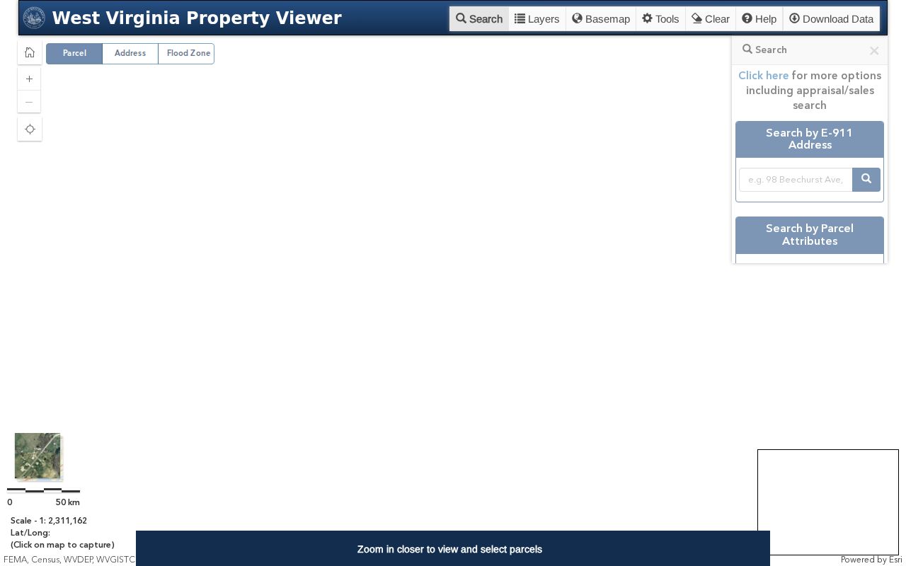
That panel is the place to inspect a tax-map record. For anything legal, the recorded deed and survey still answer what a map cannot settle.
Select a Logan parcel by address
When the street or road name is known, start with a Parcel Address search. Unclear results call for a closer look. Select the parcel and compare its physical address, E-911 address, Community field, and linked assessment report. Logan County is full of hollows and community names. A postal town often differs from an incorporated boundary. Orient yourself on the map view, then copy the parcel identifier rather than treating the zoom level as proof.
The assessor also offers a text search form. Its fields include Parcel Address, Owner Name, Account #, District, Map/Parcel, Property Type, Legal Description, and Deed Book/Page. It works well before or after a GIS selection, especially when a map label or road number is ambiguous. One quirk matters. Owner Name must be typed LAST FIRST, with no comma. That is an assessor search convention rather than a mapping feature.
If the selected parcel's legal description disagrees with its address label, keep both values. The deed may reference an acreage tract, a lot or addition, a creek, a survey, or a prior instrument. It may do so instead of citing a modern street number.
Use Logan County Highlight, Copy Link, and KMZ
Highlight ON sets the selected parcel apart from neighboring shapes on a dense map. The Details control opens the information panel. Copy Link saves a shareable view, and Download KMZ exports a layer for mapping software. These tools earn their keep when you need to return to the same parcel later. They also let you check a selection against an address in another record.
Pair the saved link with the account number, District, full Map/Parcel, and legal description. Views shift as you pan or zoom. The KMZ mirrors the viewer's mapped data, certifying nothing about a deed line. On a road or neighbor question, the selected parcel is a shared reference point. It is never a boundary decision.
The assessor's official landing page links to the GIS application and other property tools. Because the ArcGIS interface is dynamic, confirm the current controls in the live viewer.
Flood zones are not Logan parcel boundaries
The viewer includes a Flood Zone control. A flood layer shows mapped risk context only. It is not a land-ownership line, an easement, or a parcel description. A parcel can cross a zone or sit right beside one. Use the layer for orientation. When a permit or transaction depends on it, ask the proper floodplain or planning office for a formal determination. The parcel card carries a delinquent-status field as well. That flag reflects tax status and proves neither foreclosure nor a completed transfer. Flood data, delinquency, E-911, and ownership remain distinct fields even inside one panel. Logan County property maps earn their keep by gathering context. But context is not a legal conclusion. When a question turns on flood limits, tax sale, or title, pin down the exact parcel first. Then move to the source office or official record for that topic. Never infer a legal result from color or shading alone.
Compare Logan County E-911 and community labels
WV Property Viewer labels a site three ways. You may see a physical address and an E-911 address. A community name may appear on the same record too. A tax card adds its own split, showing situs address and mailing address separately. Across Logan County's valleys and hollows, labels get messy. In unincorporated coal communities, the mail city often disagrees with the community label. Anchor every lookup to the selected location and parcel identifier. That way you know which account you opened. Treat a ZIP code as a search clue only, never a boundary.
Current Census or GIS place polygons offer one fix. They can help tell an incorporated municipality from surrounding county land. Logan County publishes no ZIP list for Logan, Chapmanville, or Man. It publishes no official annexation chronology either. Cities hold their own street renumbering and boundary ordinances, so request those records directly. Note the label you used. The next searcher will need to know why an address looks different.
The E-911 field helps you find a site. The deed's legal description and the assessor's map/parcel carry the true property identity across systems. Never swap a legal description for an informal place name.
Read Logan County map and parcel parts exactly
The assessor form offers a District selector plus four Map/Parcel inputs. The public page does not state the exact numbering rules. A separate parcel viewer may echo a selected parcel number in a dynamic panel. Copy every displayed part. Include any leading zero or district value. Store it with the account. Never shorten a number to squeeze it into another portal field.
A map selection can look right yet return no account on the assessor form. When that happens, try Deed Book/Page or the full Legal Description instead. The assessor accepts any combination of these criteria. An old deed reference often succeeds where an address has changed. Ask the assessor how a given parcel prefix maps into the four inputs. Do not guess a format from a neighboring lot.
Splits and combinations need special care. Record the instrument date in your notes. Record the map state too, whenever a parcel changes shape. A newer account may not match the outline in an older deed or plat.
Logan County plats show recorded lot geometry
A recorded plat shows lots, subdivisions, roads, and rights of way. A current tax map renders these poorly. The Logan County Clerk fee page lists a plat map at $11. The state statute, though, lists $10 for a plat or map without a deed. Confirm the present fee with the clerk before ordering. No named subdivision index exists for individual Logan County neighborhoods in the official sources. Avoid inventing a subdivision name on a city page.
Use the deed's book and page, lot, tract, or addition when asking the clerk for a related plat. Then compare the recorded geometry against the statewide viewer. That shows how a parcel appears today. A plat is a drawing, not proof. It may not establish current title, later changes, or exact ground position. Keep the book/page with the map image so the source stays clear.
Plat requests run through a separate path from GIS. The clerk's fee chart governs local copy information. A boundary dispute on the ground needs a surveyor.
Find Logan County neighbors without a buffer tool
No named adjacent-parcel or buffer command appears in the viewer material. A manual map method still works. Select the subject parcel. Read nearby parcel numbers from the map or details panel. Open each neighbor's assessment report or assessor account. The result is a list of adjacent parcel records. It is not a list of who lives nearby. An owner of record can receive mail elsewhere and may never occupy the property.
Keep the map search anchored with the subject parcel's account and map/parcel. Some neighbor shapes are tiny. Some share a boundary with a road. So zoom in and compare the recorded plat. A right of way, watercourse, or differing lot line may separate two shapes that look joined. The map alone cannot prove that two legal parcels abut.
The Logan County neighbor lookup method centers on the block. It also covers the careful steps needed to read it. The general parcel-map page stays fixed on one selected parcel.
When a Logan County survey is needed
Each record type has one job. GIS parcel lines are tax-mapping references. A recorded plat gives lot geometry. A deed supplies the legal description and the chain of instruments. A licensed surveyor locates and marks a boundary on the ground. Never build a fence, resolve an encroachment, or settle an ownership dispute from a colored screen line.
When records conflict, gather the deed book/page, legal description, plat reference, map/parcel, and any prior survey. Ask the clerk for the recorded document. Bring a survey professional in to interpret the line. A map viewer can show where the question lies, but the survey and recorded evidence decide what needs a formal answer.
That distinction matters here. Logan County's old tract descriptions and modern addresses often fail to align. A current parcel outline is a handy research layer, not a substitute for a title review or a measured survey.